Geology Field Trek: Langtang Valley, Glaciers and Hazards, Led by Nepali Geologists
- Duration
- 12 days
- Max altitude
- 4,100 m
- Difficulty
-
Moderate
Difficulty scale
- Easy Short walking days on good trails below about 3,000 m. Suitable for anyone in ordinary health, including families.
- Moderate 5 to 6 hours a day with some steep sections, reaching up to about 4,000 m. A reasonable level of fitness and a few weeks of preparation walking recommended.
- Strenuous 6 to 8 hours a day, high passes or altitudes above 5,000 m, and remote stretches. Good fitness, prior trekking experience and proper acclimatisation days are essential.
- Very strenuous Long days, multiple high passes or technical sections, sustained time above 5,000 m. For experienced, well-conditioned travellers only.
- Best season
- Autumn (Sep–Nov) · Spring (Mar–May)
- Group
- Private
- Per person, 2 travellers
- $1,350
A technical, field-based trek led by PhD geologists of Nepal, at the slow pace that real field work needs. Days are short, and we build in rest and field days at height.
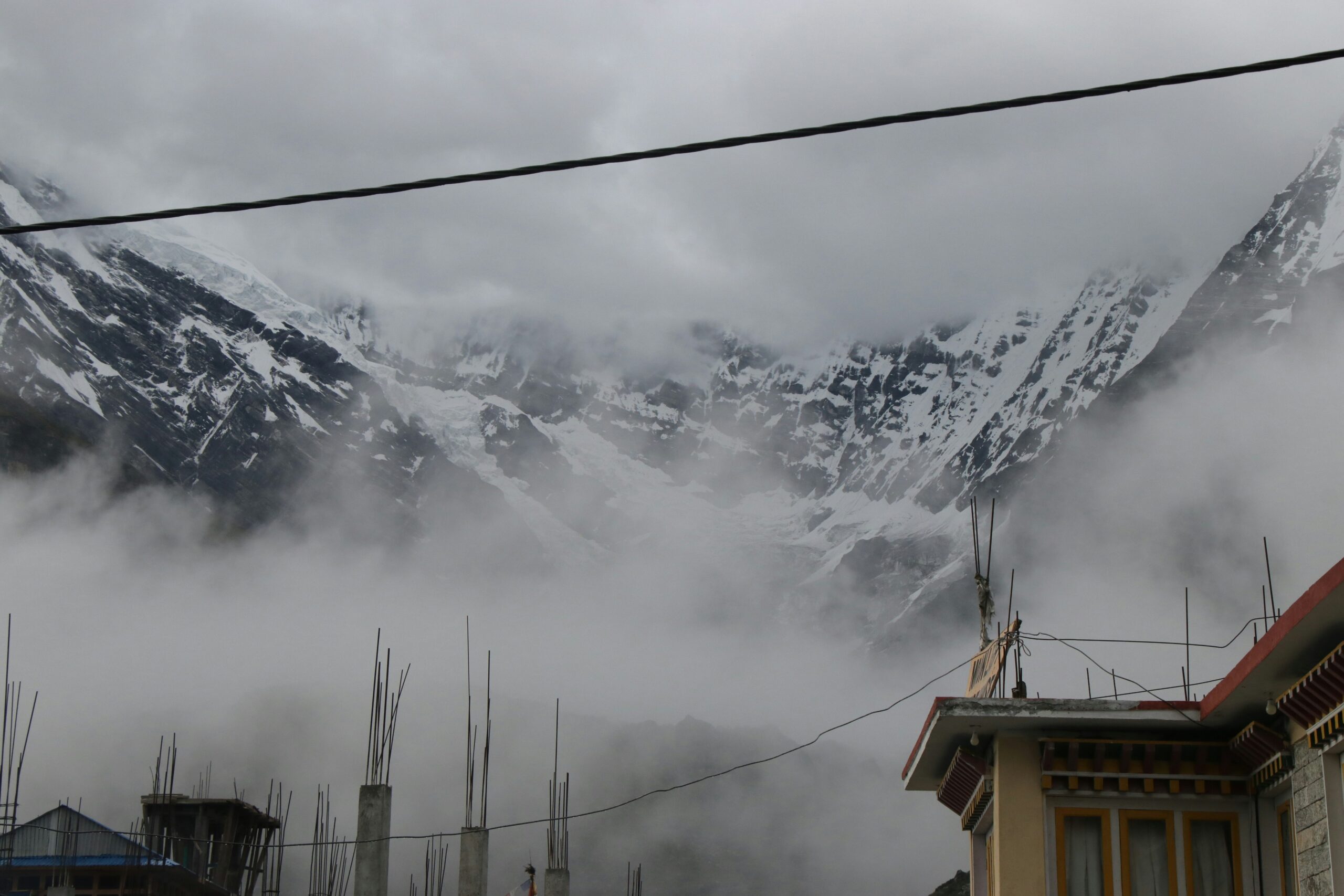
Langtang is the closest high Himalayan valley to Kathmandu and a compact geology textbook. You walk north from the Lesser Himalaya across the Main Central Thrust zone into high-grade gneisses and schists, then into a classic glacial valley with moraines, hanging valleys and living glaciers below Langtang Lirung. The valley also shows what mountain hazards look like: the 2015 earthquake and avalanche left a huge landslide deposit at Langtang village that is studied as a case in rock and ice mechanics.
Choose a track when you book: Foundation for students and curious beginners, Field for graduates and working geologists, or Advanced for researchers who want structural measurement, glacial geomorphology and hazard discussion. Accommodation is basic by design, with no comfort upgrades.
Trip highlights
- Led by PhD geologists of Nepal, with beginner, field and advanced tracks
- The Main Central Thrust zone and the move into high-grade gneisses
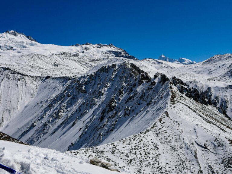
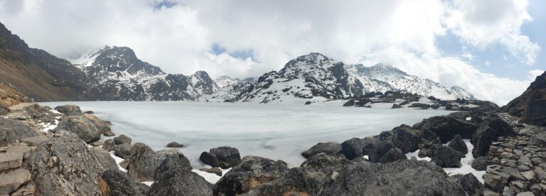
- A textbook glacial valley with moraines, hanging valleys and living glaciers
- The 2015 earthquake and avalanche deposit at Langtang village, a hazard case study
- Hot springs and the metamorphic rocks of the lower valley
The itinerary
-
Day 1: Arrive in Kathmandu 1,400 m Simple hotel Notincluded
Airport pickup and transfer to your hotel. Evening briefing with the geologist leaders on the route cross-section and the track each person has chosen.
-
Day 2: Drive to Syabrubesi 1,550 m Teahouse B/L/D
A road day north with road-cut stops across Lesser Himalayan rocks towards the Main Central Thrust zone, arriving in the afternoon.
-
Day 3: Syabrubesi to Lama Hotel 2,480 m Teahouse B/L/D
A forest walk beside the Langtang river through gneiss and schist outcrops, with talks on metamorphic grade and the thrust zone.
-
Day 4: Lama Hotel to Langtang village 3,430 m Teahouse B/L/D
The valley opens into a glacial trough. Stops at moraines and terraces, with a slow ascent to protect acclimatisation.
-
Day 5: Langtang village field day 3,500 m Teahouse B/L/D
A respectful field day at the 2015 landslide and avalanche deposit: its materials, runout and the lessons for mountain hazards, followed by glacial landforms above the village.
-
Day 6: To Kyanjin Gompa 3,870 m Teahouse B/L/D
A short walk to Kyanjin with views of Langtang Lirung and the glaciers. Afternoon lecture on glacier mass balance and retreat.
-
Day 7: Kyanjin field day 4,100 m Teahouse B/L/D
A full day in the upper valley on moraines and lateral ridges, with optional climb to Kyanjin Ri at 4,773 m for the Advanced track.
-
Day 8: Kyanjin to Lama Hotel 2,480 m Teahouse B/L/D
A descent down the valley, revisiting each unit in reverse so the section sinks in.
-
Day 9: Lama Hotel to Syabrubesi 1,550 m Teahouse B/L/D
The last trekking day, finishing with the hot springs at Tatopani and a group review of the trek's cross-section.
-
Day 10: Drive to Kathmandu 1,400 m Simple hotel B
A road transfer to Kathmandu with a stop to compare the road section with the trek section.
-
Day 11: Kathmandu workshop 1,400 m Simple hotel B
A workshop day to compile notes, sections and photographs, with time to see the Kathmandu basin sediments if the group wishes.
-
Day 12: Departure 1,400 m B
Breakfast and a private transfer to the airport for your onward journey.
The climb, day by day
What's included
Included
- Included: Field leadership by PhD geologists of Nepal throughout
- Included: Daily geology briefings, outcrop stops and evening sessions
- Included: Geological map, route cross-section and a field notebook
- Included: Airport pickup and drop by private vehicle
- Included: Three nights in a simple hotel in Kathmandu with breakfast
- Included: Kathmandu to Syabrubesi and return by private vehicle
- Included: Teahouse lodging and three meals a day on the trek
- Included: Langtang National Park entry permit and TIMS
- Included: Licensed English-speaking guide and porters for logistics
- Included: Entry fees, government taxes and our service charge
Not included
- Not included: International airfare and the Nepal entry visa
- Not included: Travel insurance covering trekking to 4,000 m
- Not included: Meals not listed in the itinerary and all drinks
- Not included: Personal field gear such as hand lens, compass clinometer and hammer (collecting rocks is not allowed in national parks)
- Not included: Comfort or luxury upgrades, which this expedition does not offer
- Not included: Tips for the guide, drivers and porters
- Not included: Anything not listed under what is included
Suitability & requirements
This is a technical, field-based trek. Choose your track (Foundation, Field or Advanced) when you book. Rock collecting is not allowed in national parks, so the work is observation, measurement, sketching and photography. The Langtang village landslide area is a memorial site, so we visit it with respect and keep to marked paths. Accommodation is basic by design.
Led by a licensed guide
Every route is led by a government-licensed guide from our team. Licences are on record with us before departure, and you'll meet your guide once your trip is confirmed.
Guide language(s): English, Nepali
Walk together, pay less
Every trip is private, so the guide, permits and transfers cost the same however many walk. Sharing them is why the per-person price falls: arithmetic, not a sale.
| Group size | per person | You save each |
|---|---|---|
| 1 traveller | $1,700 | base rate |
| 2 to 3 travellers | $1,350 | $350 |
| 4 to 6 travellers | $1,220 | $480 |
| 7 or more | $1,150 | $550 |
Per person, including permits, park fees and taxes. Nothing is added at checkout.
What to expect, month by month
- Autumn (Sep–Nov)The most reliable trekking season: clear air, stable weather and cold nights, right after the monsoon clears.
- Spring (Mar–May)Warmer than autumn, with rhododendron forests in flower and slightly hazier mountain views as the season goes on.